Toggle navigation
Survey Subdivision Home
Viewers
Survey Subdivision GeoSearch
Survey Subdivision Text Search
Supporting data
Zip File Processing
Documentation
Survey Subdivision Tutorial
APIs
Survey Subdivision API
Search
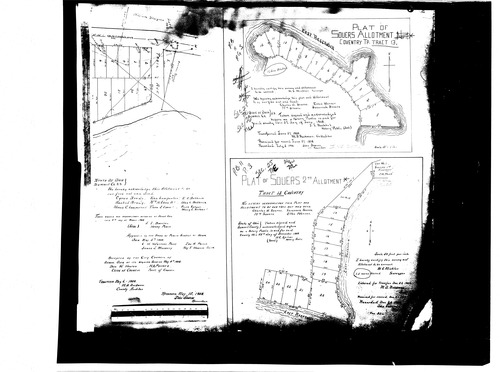
Plat: Souer's Point 1st Allotment
Download Original
Identity of Document
Id:
971
Subdivision name:
Souer's Point 1st Allotment
Document type:
Plat
Latitude:
40.9976986412792
Longitude:
-81.5306782722473
Dated on:
1908-12-23 19:00:00 -0500
Plat recorded in:
Book 11, pg. 3
Drawing Location:
Created at:
2009-06-30 13:47:23 -0400
Created by:
wschosta
 Download Original