Search
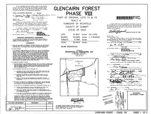
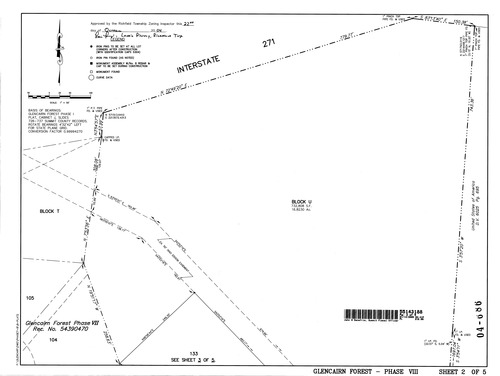
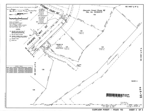
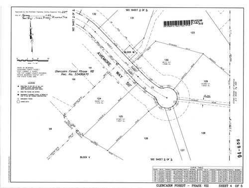
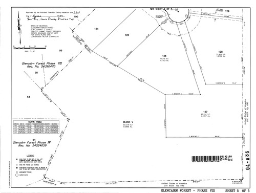
Plat: Glencairn Forest Phase 8
 Download Original
 Download Original
 Download Original
 Download Original
 Download Original
 Download Original
 Download Original
 Download Original
 Download Original
 Download Original